74 km | 90 km-effort
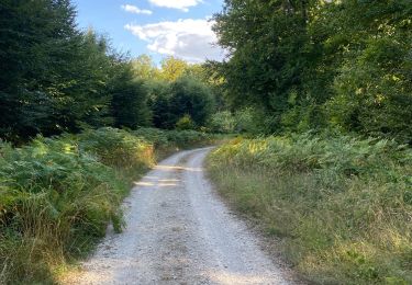
le val st Eloie par les hauteurs
nicolasdresse
User
Length
5.9 km
Max alt
412 m
Uphill gradient
141 m
Km-Effort
7.8 km
Min alt
272 m
Downhill gradient
149 m
Boucle
Yes
Creation date :
2018-09-29 20:52:30.385
Updated on :
2018-09-29 20:52:30.399
1h46
Difficulty : Unknown
FREE GPS app for hiking
About
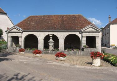
Trail Other activity of 5.9 km to be discovered at Bourgogne-Franche-Comté, Haute-Saône, Le Val-Saint-Éloi. This trail is proposed by nicolasdresse.
Positioning
Country:
France
Region :
Bourgogne-Franche-Comté
Department/Province :
Haute-Saône
Municipality :
Le Val-Saint-Éloi
Location:
Unknown
Start:(Dec)
Start:(UTM)
288365 ; 5290530 (32T) N.
Comments
Trails nearby
De Breurey lès Faverney à Vignieu en VTT- Étape 1/6
Mountain bike
Difficult
Breurey-lès-Faverney,
Bourgogne-Franche-Comté,
Haute-Saône,
France
8h 0min
No
Autour de Neurey en vaux ( idéal en été )
Walking
Medium
Neurey-en-Vaux,
Bourgogne-Franche-Comté,
Haute-Saône,
France
7.6 km | 9.8 km-effort
1h 53min
Yes
Auxon
Walking
Medium
Auxon,
Bourgogne-Franche-Comté,
Haute-Saône,
France
7.7 km | 9.6 km-effort
1h 59min
Yes
Meurcourt 26 km 27 Mai 2015
Mountain bike
Medium
Meurcourt,
Bourgogne-Franche-Comté,
Haute-Saône,
France
25 km | 32 km-effort
2h 1min
Yes
Breurey
Walking
Medium
Breurey-lès-Faverney,
Bourgogne-Franche-Comté,
Haute-Saône,
France
9.2 km | 12 km-effort
2h 43min
Yes
Ferme d egrevaux
Walking
Medium
Auxon,
Bourgogne-Franche-Comté,
Haute-Saône,
France
5.1 km | 6.4 km-effort
1h 47min
Yes
Bougnon nov21
Walking
Easy
Bougnon,
Bourgogne-Franche-Comté,
Haute-Saône,
France
12.2 km | 15.4 km-effort
3h 6min
Yes
Géocaching val saint Éloi
Walking
Easy
Le Val-Saint-Éloi,
Bourgogne-Franche-Comté,
Haute-Saône,
France
4.8 km | 5.7 km-effort
1h 20min
No
4 nornes
Electric bike
Very easy
Meurcourt,
Bourgogne-Franche-Comté,
Haute-Saône,
France
20 km | 24 km-effort
1h 48min
Yes